twonav trk files format

Hi,
can I get a description of the file format used by Two Nav in TRK files?
Is there any convertor to a standard gps format?
Best
Frederic
-
Thanks for your answers. It looks like the TRK files from TwoNav are not quite standar. The solution tybern is very good, but it cannot place the track on a map, it simply draws it on a white background.
What I would like is a description of the TRK format used by TwoNav, then I may try to have a python script to translate it to gpx or whatever. I could do it in batch for all my files.
Best,
-

Hello,
"but it cannot place the track on a map, it simply draws it on a white background."
Absolutly not !!!
I suppose you've not selected the right map for the display. May be the selected map is a french one and your track is not, but just select the right map and it will be ok.
Best regards,
-
frederic.udina@gmail.com, thanks.
-
Its all little complex.
That's an understatement...
It is the reason why I decided to read TRK in my application, but not write them !
I have also some informations about the internal structure if you need them.But if you want to code it yourself, you should know that parsing this format is a pain in the neck because this format is so crappy... There is no grammar, it is not even a language, it was invented and written with the feet...
Best regards,
-
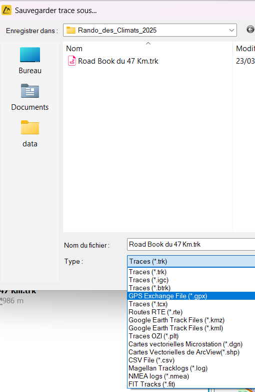
Twonav continues to rely on its TRK format, probably to force users to stay within their ecosystem, but it's a double-edged sword, because now it's also a barrier to new users not using an ecosystem that relies on a non-standard data format. For example, the concept of variants only works with TRKs, not GPXs (it would be possible). This is a serious strategic error on the part of Twonav in my opinion.
-
"Yes. I agree. I moved out of TwoNav for this reason (but Garmin is not much better)"
Je continue d'utiliser un GPS Twonav, car avec mon application, je peux traiter les TRK et en faire ce que je veux après. Je n'utilise plus Land, ni la version Android de Twonav. Garmin, non, moi aussi, leur ecosystème ne me convient pas.
Si je devais ne plus utiliser le GPS Twonav (un Cross), certain que désormais, je me tournerai exclusivement vers une application Android (Locus Map est excellent !). -
"Is there a way to batch transform several tracks at once?"
Notez que vous pouvez importer de nombreuses traces en même temps (par glisser-déposer par exemple), et les exporter ensuite, c'est assez rapide. Vous pouvez aussi les exporter comme "collections", qui permet d'enregistrer un container qui contient plusieurs traces.
Pour la Catalogne, pensez à aller dans le menu "paramètres", puis "configuration des fonds de carte" : cela vous permettra d'ajouter le fond de carte de l'IGN Espagne dans le menu de choix des cartes si vous en avez besoin.


Please sign in to leave a comment.
Comments
20 comments