Maps caption

-

Good evening,
This is because you are using a Rater map, a raster map is an image, the screen which is relatively small only shows part of the image. In general, on a raster map presented on a computer, there is never a street name or legend; the legend is a separate file. However the legend is supposed to be known, when it still happens to me to leave with a paper map the first thing done is to cut out the map to keep only the useful area.
To have the names of the streets (not the legend), as on a computer screen, you must visualize a vector map which is in reality a database of objects.
So on your GPS to know the legend, you have to learn it or attach it as an image file attached to a Wpt for example?
To get the street names, use a vector map (OSM 21q2 ..) for example.
However, your GPS gives you a very flexible solution to have the street names on your raster map.
Open this map then open the vector map and you will see the street names on your raster map.
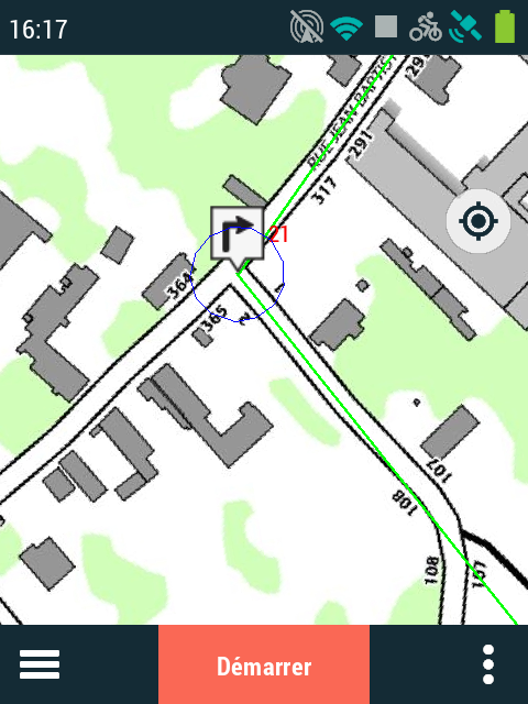
ScreenShot of a Trail 2 with road names (this map is an Open Street DIY map with contours lines)

Annoter map with road name (From an UK provider)
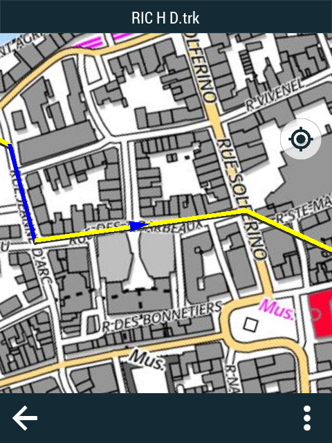
Here under the Map from French IGN with road name (it's an Raster map)
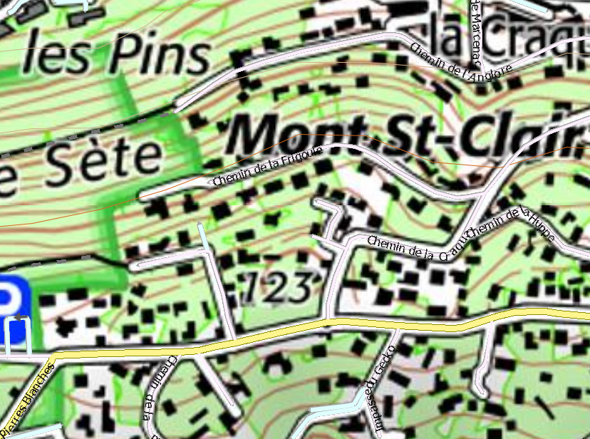
French "GOD VIEW" of SETE with Road name (OSM 21 Q2)
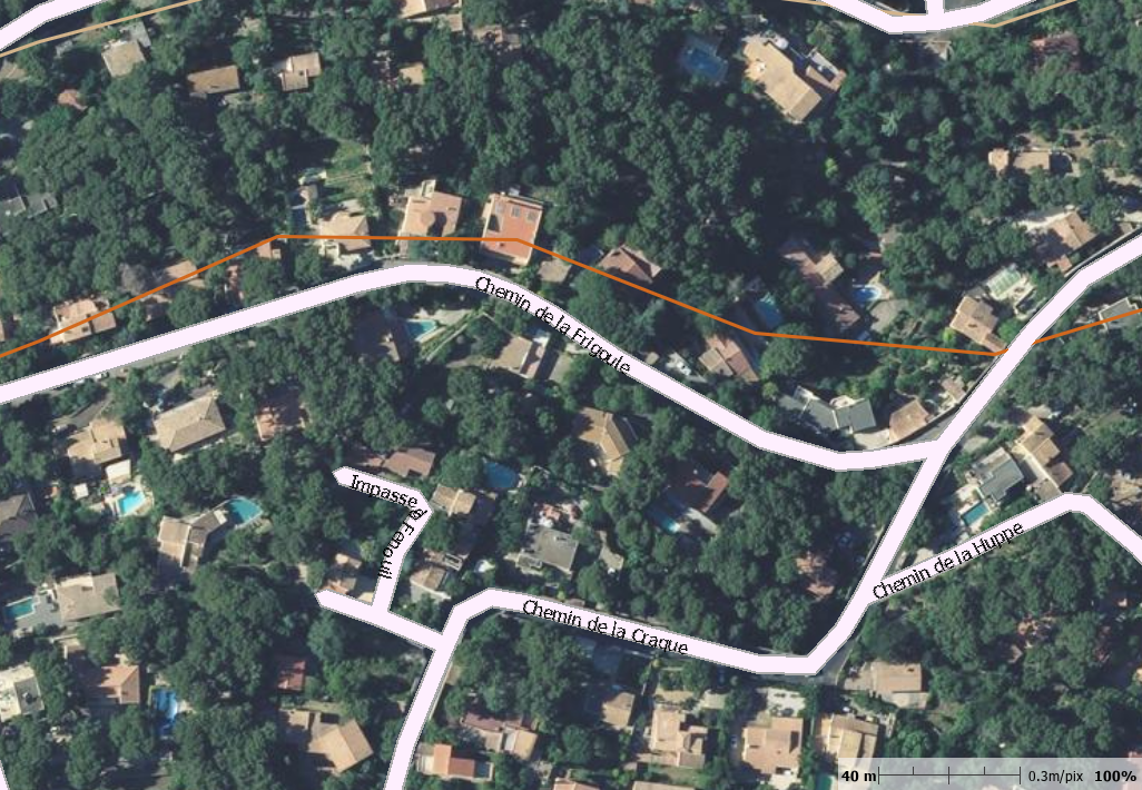
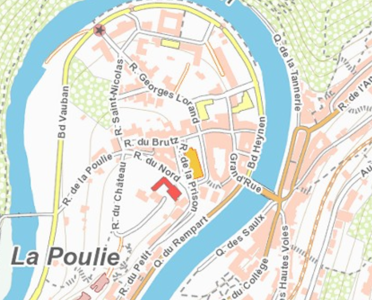
French Raster map + OSM 21 q2
For exemple Belgium raster map (Land & TRAIL 2) with road name.
Up to you to used the good tools.
Good wrinkles

Please sign in to leave a comment.
Comments
3 comments