Abre mapas personales en formato *.RMAP, *.MPV, *.MPVF

La app TwoNav 6.0 tiene la opción de "Abre mapas personales en formato *.RMAP, *.MPV, *.MPVF" .
-

Example, creation of an MBTILE from IGN data (Topo Data + Lidar Relief 0.5 m x 0.5 m x 0.5 m), LAND screen copy (Same in GPS or APP)
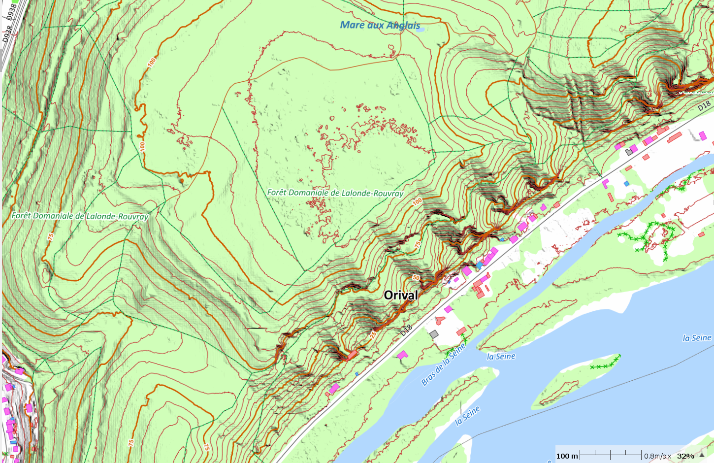
The same area this time in vector (Topo.Vmap, Relief.mvpf) Open Street Map topo data + LIDAR Relief 0.5 m x 0.5 m x 0.5 m ...
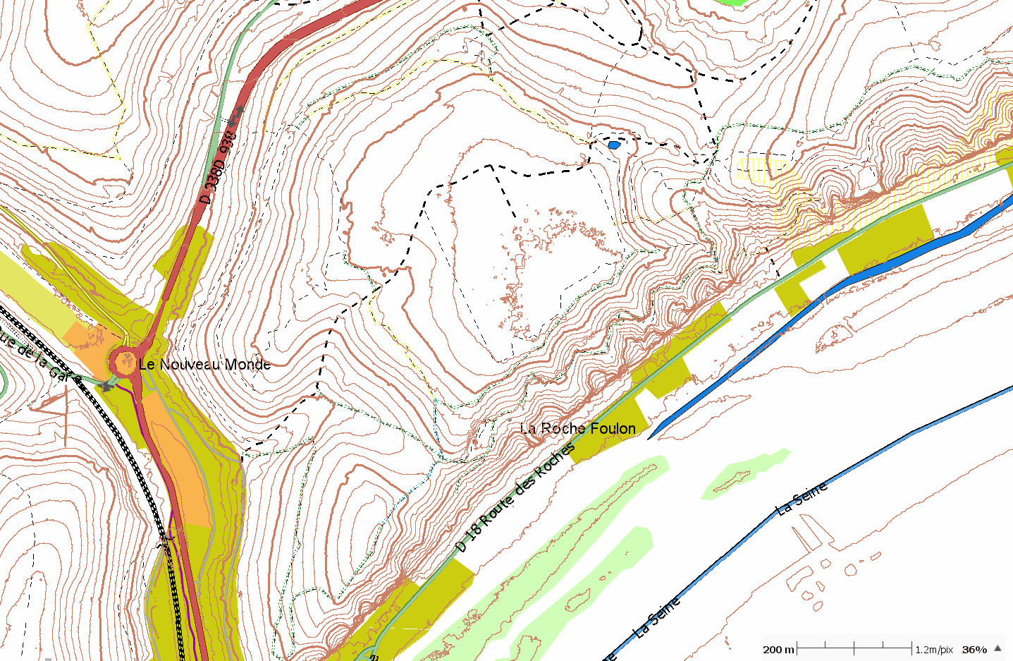
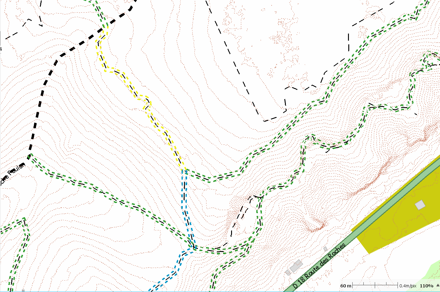
For these two types of map, the appearance and rendering are adjustable during creation, for example the suitability of the paths (ease) is highlighted by a colored frame (Visible with a GPX track), the same for the MBTILE the hiking trails can be highlighted or have an appearance adapted by the user. (Tools: LAND, QGIS, OSM, IGN)
Iniciar sesión para dejar un comentario.
Comentarios
2 comentarios