Outdated OSM maps ?

if the OSM maps for germany currently in the store really are from 2021, when can an update be expected and why are the update cycles so long ?

Best regards
-

Hello,
While waiting for an update or between updates, there are several relatively simple solutions:
One involves importing the data from (.... download.bbbike.org/osm/extract/). Then, simply open the file with Land and save it as MPV or MPVF (Land 8) or Vmap (if you have the script). In Land, you can adjust the visual appearance via the map properties (the *.clay file is usable for all maps).
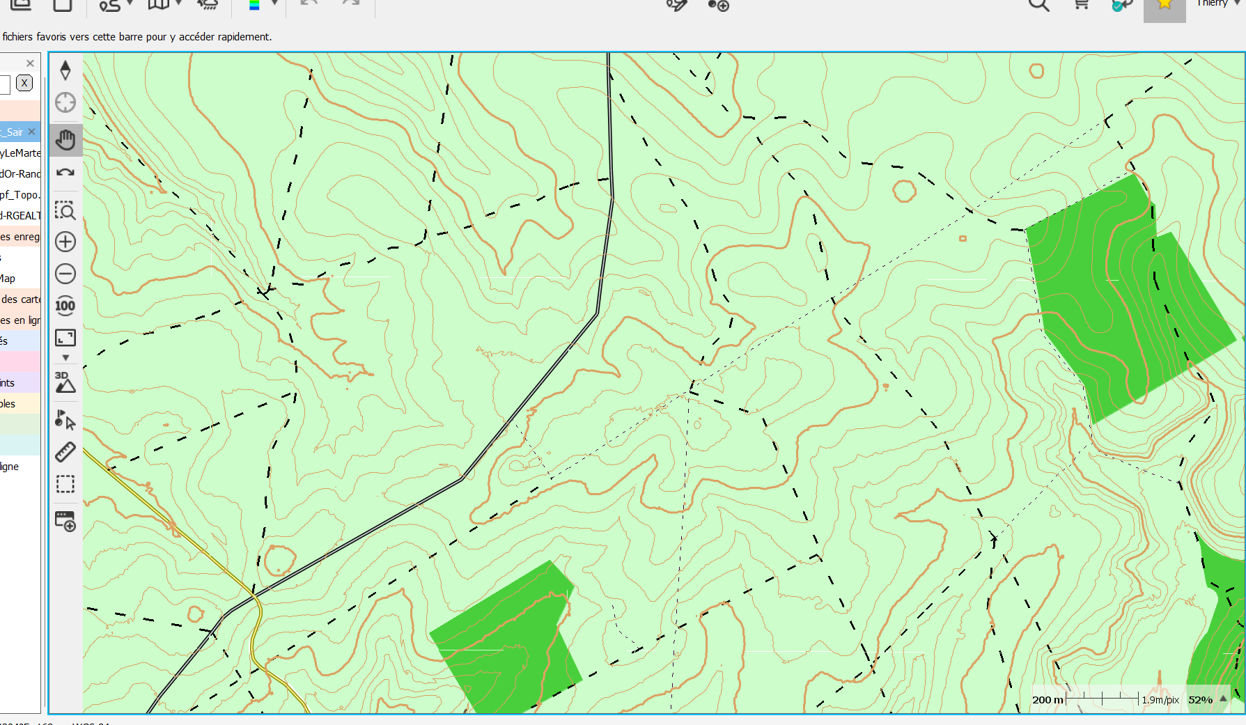
Another involves importing the data from (...download.geofabrik.de...), which offers packages for applications (see the online help). Once this file is imported into QGIS (free and open source), you simply need to modify the layer properties (tutorials and files are available online) to give your map the desired visual appearance. Then, QGIS exports it in MBTile format, which is usable in Land and TwoNav GPS devices.
A path is missing, a trail is broken, or the route is incorrect... don't panic, just go and fix it (JOSM). The next day, this update will be available in the imports.
And you'll have the most up-to-date map...
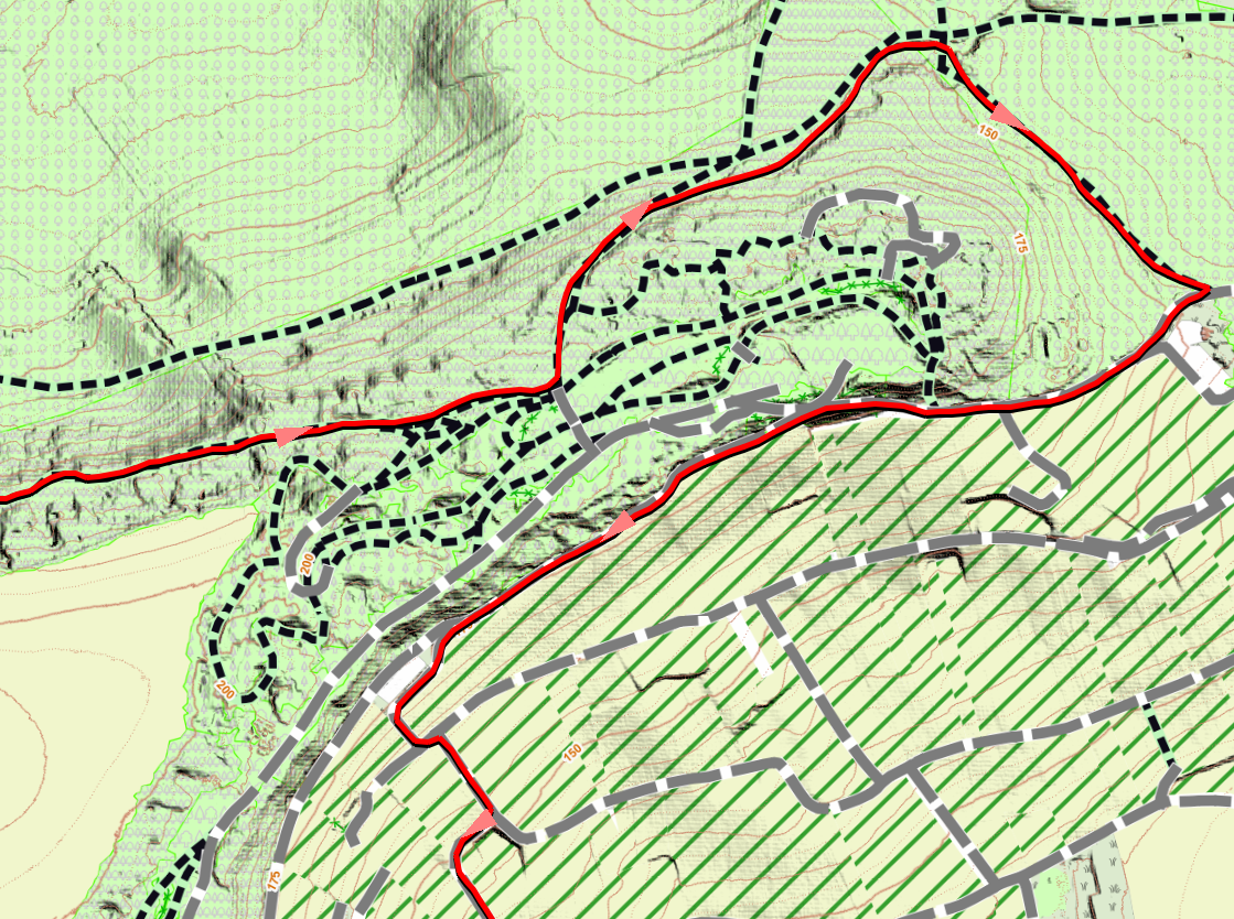
Exemple MBTILE All Data IMPORT, Raster Map With Qgis, the most update
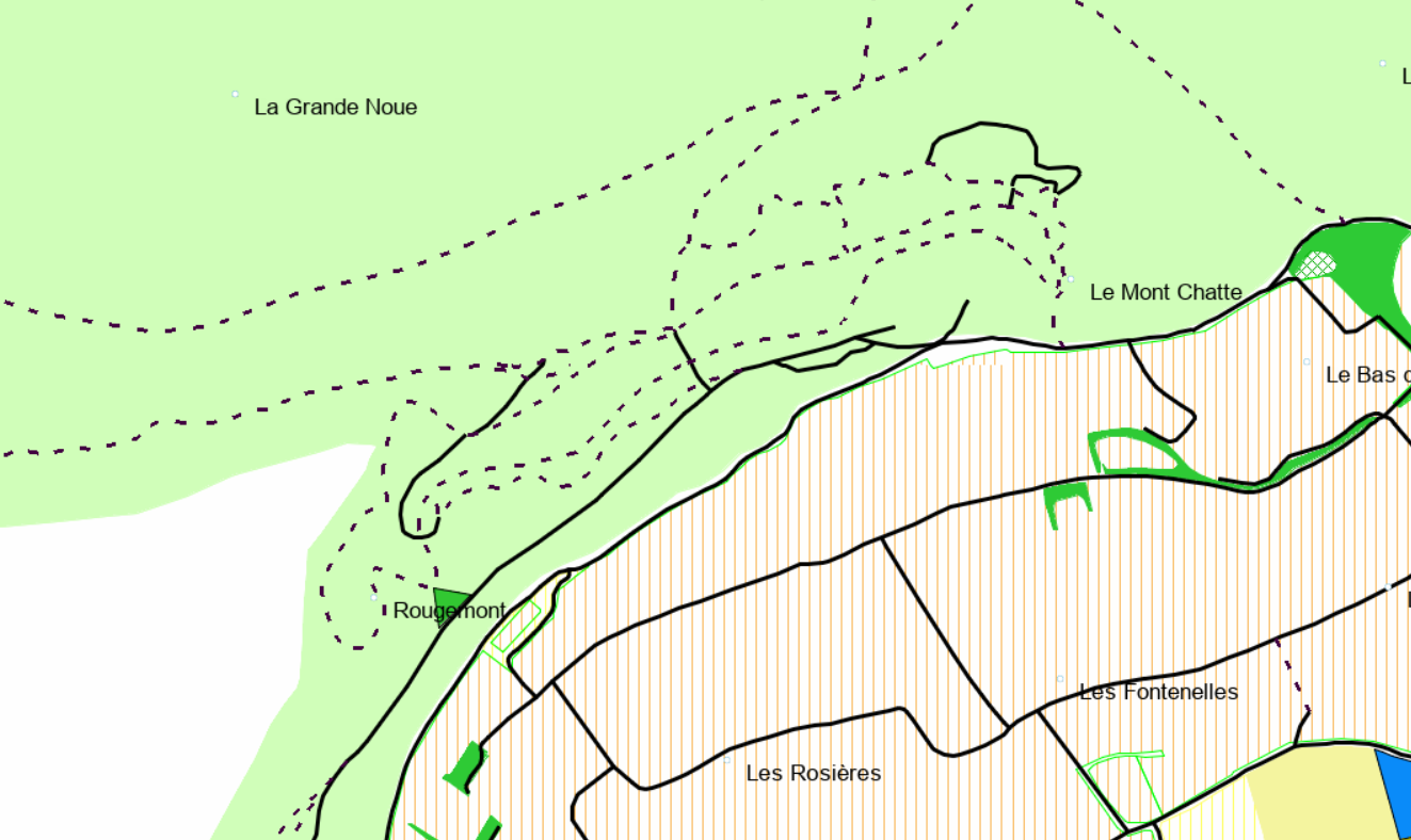
Custom Vamp for the same palce
Custom Vmap for the same place with contour line (All Data imported) Map create wirh Land, contour line create with Qgis ..
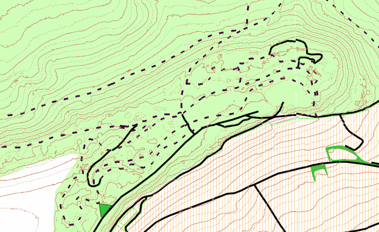
For DEM (Contour line) Data is available on sony website (Dem collector) or your contry official geographic web site.
Send a Request to TwoNav by the LINK on the right upper corner ogf this page
Best map
-

Don't think you can expect anything from Compe regarding vmaps in the near future. Head here to get some newer vector maps from the community:
Vous devez vous connecter pour laisser un commentaire.
Commentaires
3 commentaires