Which unit/subscription?

-

Bonjour,
Les cartes Harvey sont disponibles pour Twonav GPS. Suivez ce lien.
Best regards
-

Hi Philip, since this a forum only populated by users you should be a little more specific about what you are planning to do (hiking/climbing/cycling/kayaking etc.). The devices offer some pro/cons compared to the app which is available too. App and Land offer online map access and need subscriptions, the devices don't. need subscription but for some features some users subscibe too. Last time I checked bought maps can be activated on 3 devices (App and Land count as device too).
-
Regarding devices:
- I do hiking, the Terra would be to big for me, I prefer the Cross because of its smaller size. But often the app on a suitable phone would be suffizient. I have a phone with internal barometer which has an acceptable battery life. For longer tours in high mountain areas I prefer to have the Cross and a phone with the app with me to have a backup plan but booth are powered by internal batteries which makes them unreliable in extrem temperatur situations. Everything is equipped with OFFLINE maps.
Regarding maps:
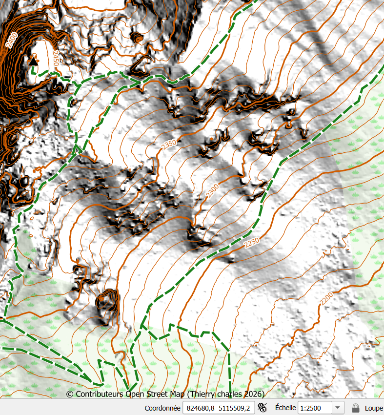
- You have to differentiate between raster and vector maps. Vectormaps are much smaller, allow routing and are sharp in every resolution. Rastermaps are like papermaps, I prefer them for hiking since they often allow a better orientation. Harvey and OS are providing rastermaps afaik. You can buy them from Compe and the license allowas a specific number of activations (3 I think). But some of the maps are available for free from other sources. Most people use Mobac to create their own rastermaps from online sources. There are other tools like QGIS which allow to create rastermaps from online vectormap sources including altitude lines which I think Tierry was refering. Map creation is fiddly, it needs some learning before everything is suitable.
Why create a rastermap from vectormap sources: the tools Compe provides for vectormap creation are limited and the vectormaps are not as detailed and informativ as the sources. Since this is frustrating, people are trying to find a workaround. In addition to that, CompeGPS Land from version 9 upwards has serious problems to create usable vectormaps (in mpvf format) so every vector "mapcreator" tries to get his hands on a version like 8.96 and clings to it. Compe does not seem to work on solving the issues - they are inclined to force the user to use another vectormap format (mpv) that is inferior to the format . Rastermap creation with Land in rmap format is working fine on newer version. Additionally the app (ONLY THE PRO VERSION) and the devices can read rastermaps in mbtiles format, but Land can't create those maps, only read them.
The app and the devices allow to use vector and rastermaps simultaniously, meaning you can overlay a vectormap over a rastermap and by doing so, combine their pros.
Accedi per aggiungere un commento.
Commenti
6 commenti