Information about the Terra device

Hi, I’ve been using the TwoNav app on my phone for a long time and have been very happy with it. As for a dedicated GPS device, I’ve always used Garmin, but lately, I haven't been satisfied with their products (lots of bugs). I’m interested in the TwoNav Terra, but I have a couple of questions:
1) The latest Garmin GPS units feature dual-band technology for reception. Am I right in thinking the Terra doesn't use this technology? Does it still provide an accurate signal, even in dense vegetation?
2) On my Garmin, I used a lot of national maps—converted to JNX or RMAP formats (OSM, IGM, regional maps, etc.). Can I add these custom maps I’ve created to the Terra? Is there a maximum file size? Is RMAP the only supported format?
Thanks
-

The discussion contains two links:
- One that leads to the Geofabrik website for importing map data for the Alps,
- and another that leads to your "Karten" site, where the vector map of the Alps can be found.
As for the direct link to Geofabrik, I have documented what can be done with it.
Vmap ALPS
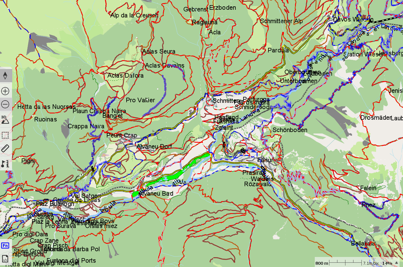
Vmap ALPS France With other clay file
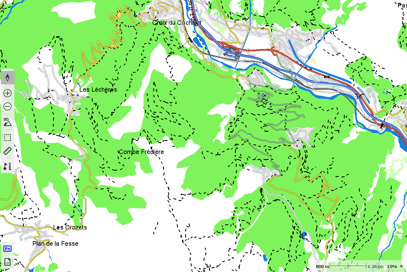
The associated *.clay file determines the visual appearance.
It would be helpful to know how "Karten" converted the Geofabrik file from its original format into the *.vmap format; this would allow our friend to generate their own *.vmap-format map using Geofabrik data.
I know how to do this, but only for smaller files.
With your TERRA device, TwoNav provides an OSM map for your country; maps for other countries are also quite inexpensive to purchase.
Therefore, if you like the visual style of the Alps map, copy the *.clay file included in the "KARTEN" download and paste it into the same folder as your other *.vmap file. Rename the *.clay file so that it matches the name of your *.vmap file, then reopen that map in Land or on your GPS device.
If you are not satisfied with how a particular element is displayed, right-click on the map, select "Properties," adjust the appearance to your preference, and then save the "layer."
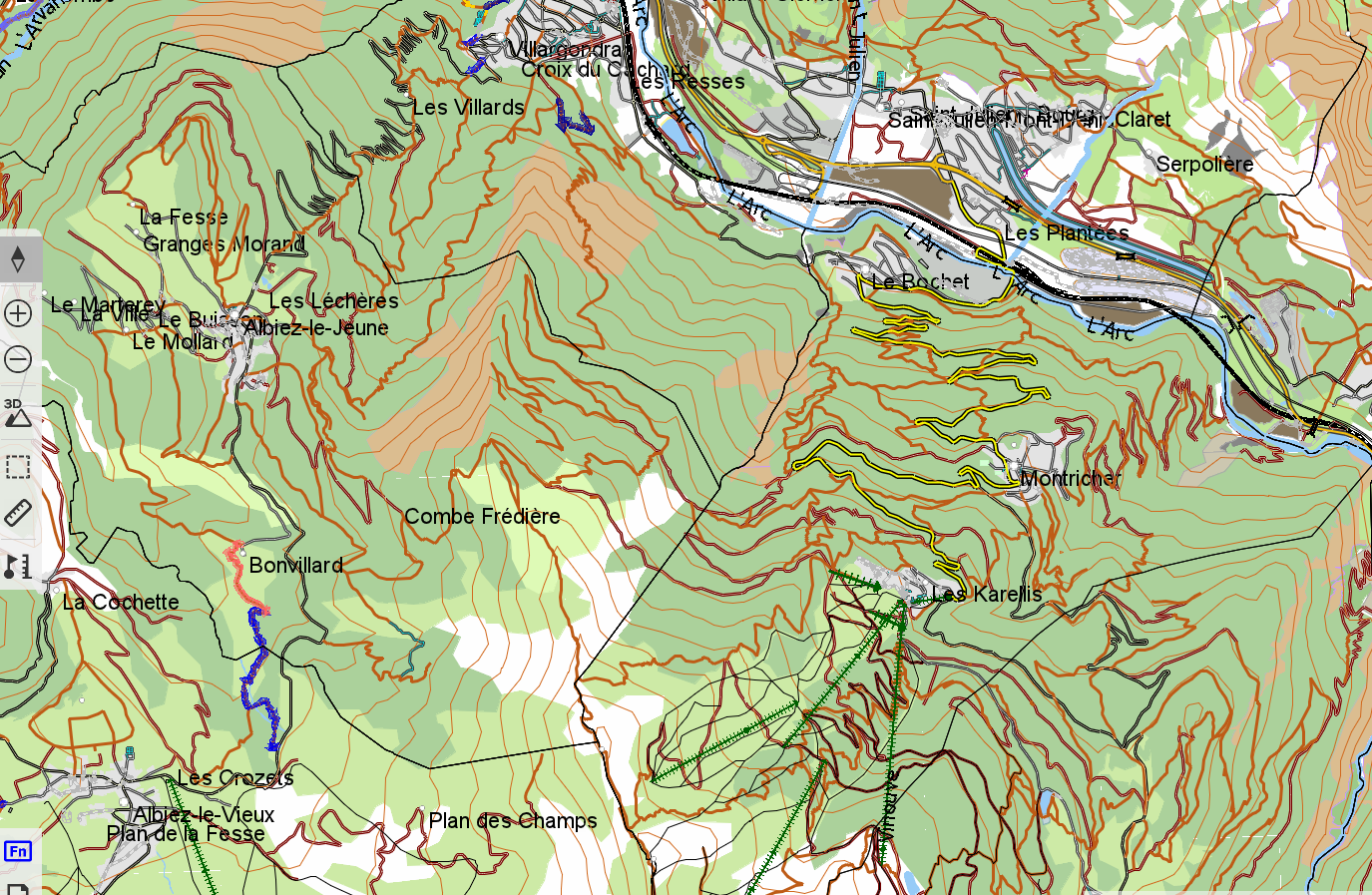
There you go—my OSM map of France now has the same visual appearance as Karten’s map of the Alps.
-
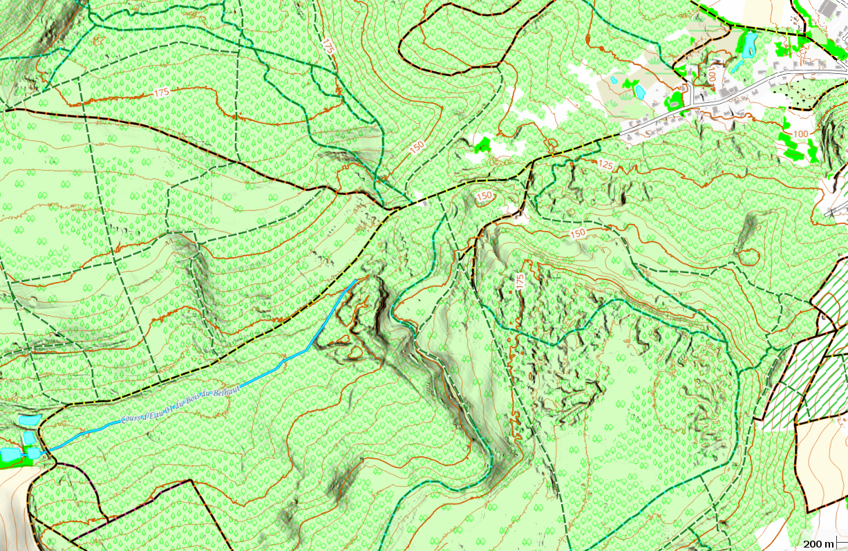
An OSM vector map area of France provided by TwoNav; the visual appearance of the map is imported via "Karten," and the global terrain data is replaced by the country's official terrain data (which is less segmented).
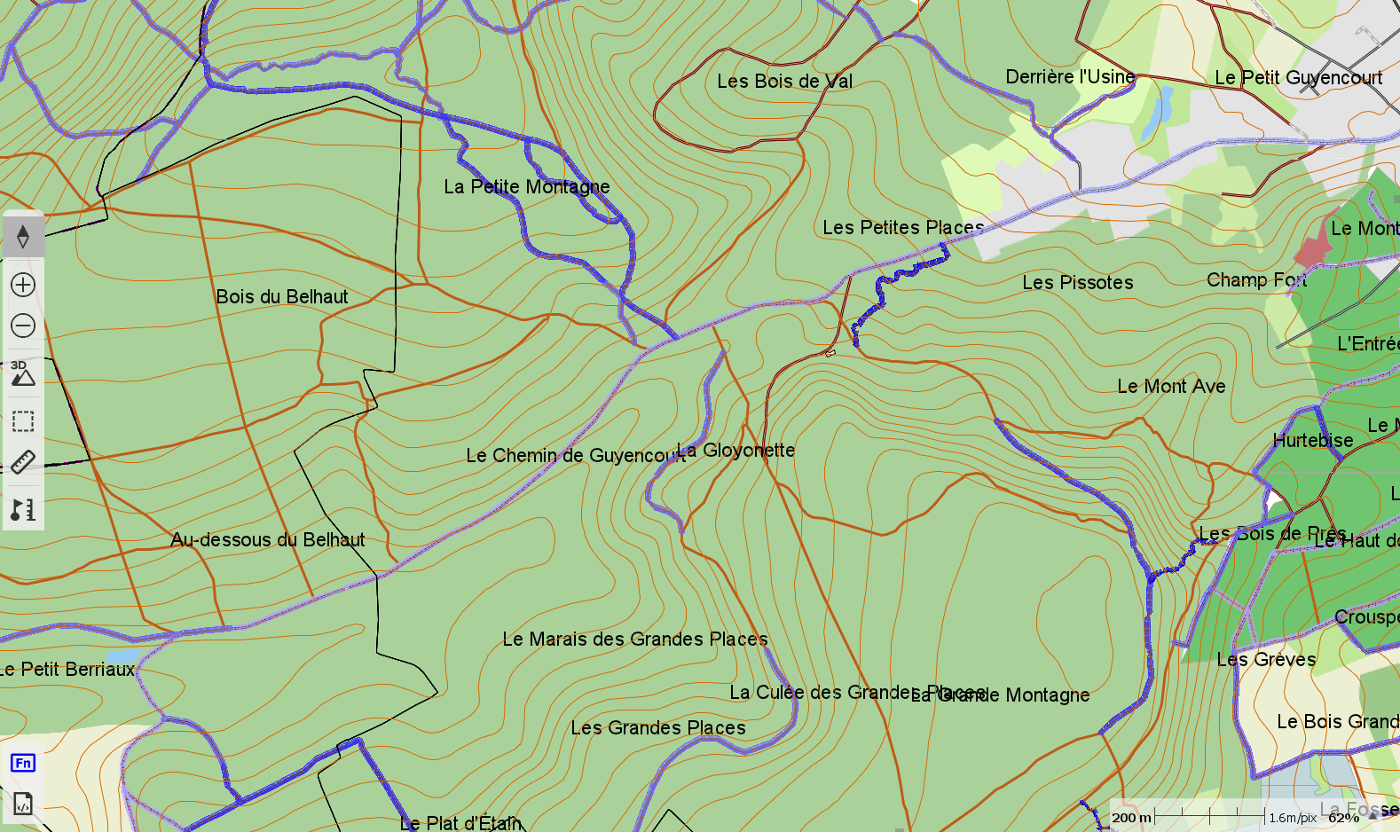
The same area of France as an OSM vector map, created using Land; the visual appearance of the map was imported via Karten, and the OSM data was imported via BBBike—no terrain relief included.
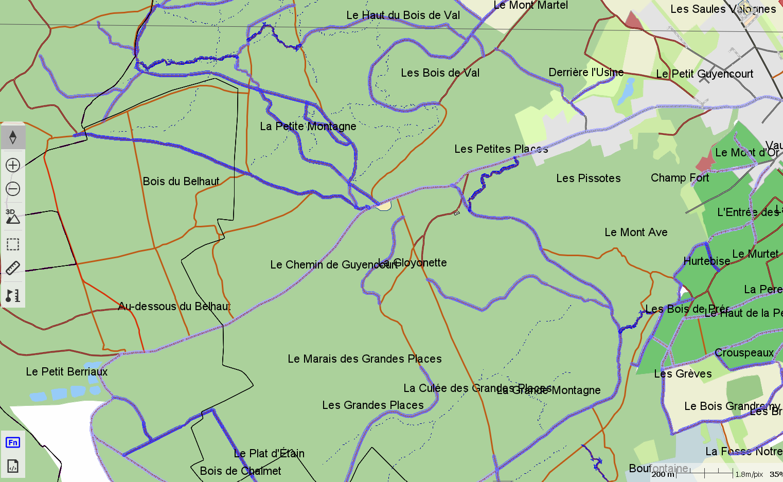
Same data area, same sources: QGIS raster map with hillshade and contour lines
You have all the information you need to determine the best choice for your specific use case.
And some ideas on how to obtain your maps.
Vous devez vous connecter pour laisser un commentaire.
Commentaires
62 commentaires